GISBox Official Teams: https://teams.live.com/l/invite/FEAr12sInvEVy4hFQE
Official Teams Group: https://teams.live.com/l/invite/FBAFp0pbqhqlpe1BQI
GISBox provides very practical and efficient functions for 3D modeling engineers and digital twin modelers in their work, especially in building 3D city models and supporting smart cities and simulation systems. The main contributions are as follows:
- Support and conversion of various 3D data formats GISBox supports various 3D and spatial data formats such as OSGB, OBJ, FBX, DAE, SHP, GeoJSON, LAS, etc., and can efficiently convert them into 3D Tiles format. This enables visualization on WebGL-based (e.g. Cesium) platforms.
For 3D modeling engineers, it becomes easy to convert oblique photos (OSGB) and BIM models into standard formats, eliminating the need for complex scripting and the use of multiple tools.

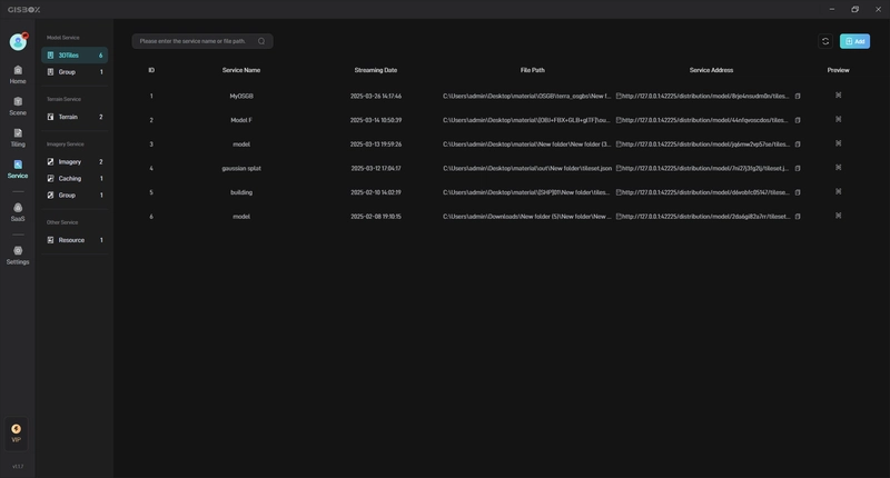
- Fast tiling and service delivery For large-scale, high-precision 3D city modeling, GISBox realizes one-click tiling processing. By automatically splitting and optimizing compression of model data, it:
Improves loading speed
Reduces load on browsers and servers
Available online and locally
In addition, it supports major distribution protocols such as 3D Tiles, Terrain, and WMTS, so it can be used immediately in a variety of visualization environments.
- Integrated display with terrain and image data GISBox can tile and visualize terrain data such as GeoTIFF and DEM, and image data such as TIFF and JPG, and display them fused with three-dimensional models. This allows you to build a realistic digital twin urban space.
By integrating multiple data sources on one platform, engineers can work consistently without switching tools.
- Collaborative modeling and scene management GISBox supports collaborative editing by multiple people and is equipped with scene management and layer configuration functions. Users can:
Create and edit blank scenes
Move, flatten, and set attributes of models
Separate layers for buildings, terrain, infrastructure, etc.
Suitable for unified management of the entire project and collaboration in teams.
- Lightweight introduction and free use GISBox offers a free version for individuals and small to medium-sized teams, allowing for powerful local use. It is also ideal for development, verification and exhibition on intranets, and can significantly reduce costs compared to other commercial GIS software.
Main usage scenarios:
Smart city construction: Integrating 3D city models with traffic and infrastructure information
Disaster simulation: 3D reproduction of terrain and buildings and visualization of disaster impacts
Urban planning evaluation: 3D comparative analysis of multiple design proposals
BIM/GIS integration: Improved accuracy by integrating BIM models and geographic information
Summary
GISBox provides an integrated solution that handles everything from data preprocessing to service publication. It is a very useful tool that improves work efficiency, facilitates collaboration, and enables optimal visualization of large-scale data in the construction of 3D cities and the deployment of digital twins.


Top comments (0)